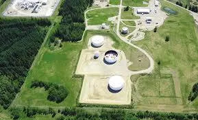
Designing industrial sites as one system
On an industrial site the grading, containment, drainage and access elements constrain each other. Resolved in sequence they conflict; resolved together they do not. What has to be decided early, and why.
Written by the people doing the work, on the problems that actually come up — earthwork balance, pond sizing, quantity accuracy, and getting through municipal review the first time.
On an industrial site the grading, containment, drainage and access elements constrain each other. Resolved in sequence they conflict; resolved together they do not. What has to be decided early, and why.
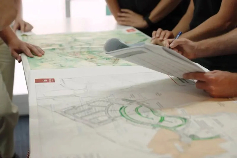
Most review comments are predictable, and most of them are about completeness rather than engineering. What reviewers are checking, the deficiencies that recur, and why a pre-application conversation is the cheapest schedule insurance available.
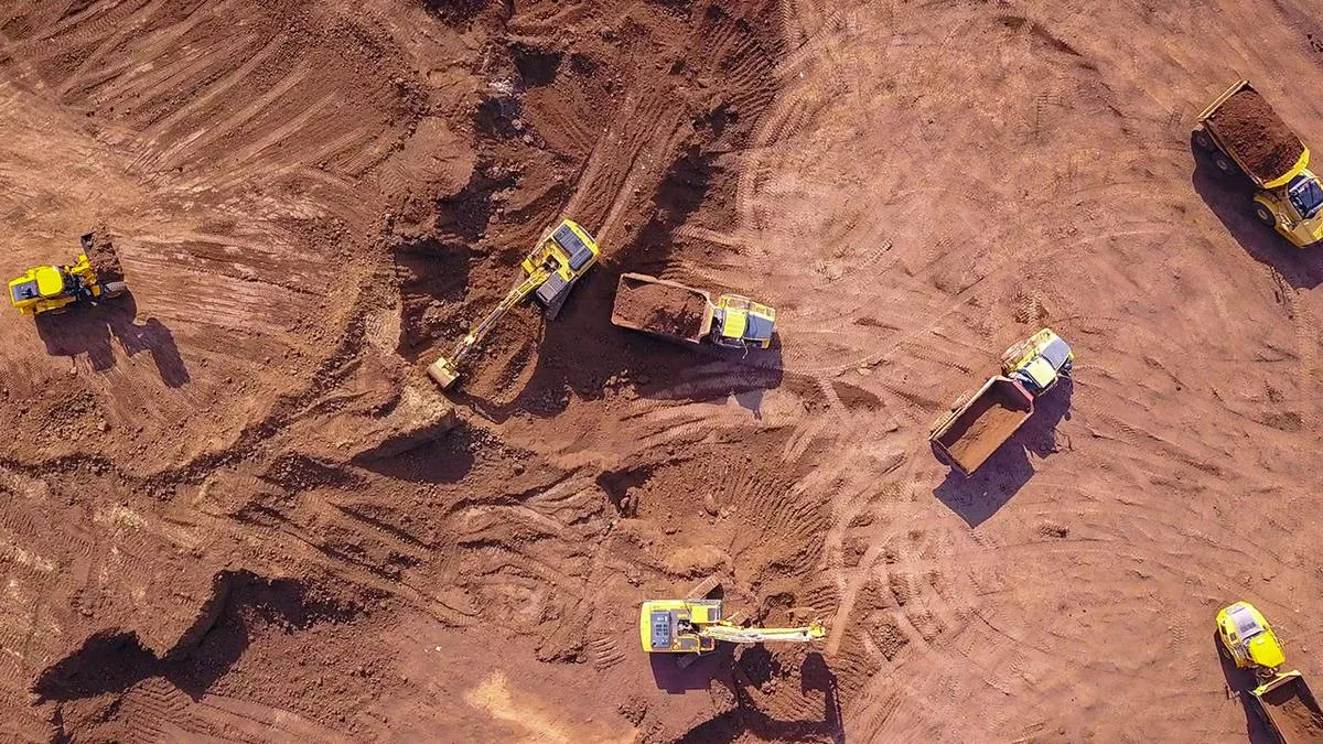
Surface-to-surface volumes are only as good as the surfaces. Where Civil 3D quantity errors come from, how to check a number before it goes into a tender, and what the model does not account for.
What a detention pond is actually sized to do, how the outlet controls the release, and why the footprint you end up with depends more on the outlet design than on the volume you started with.
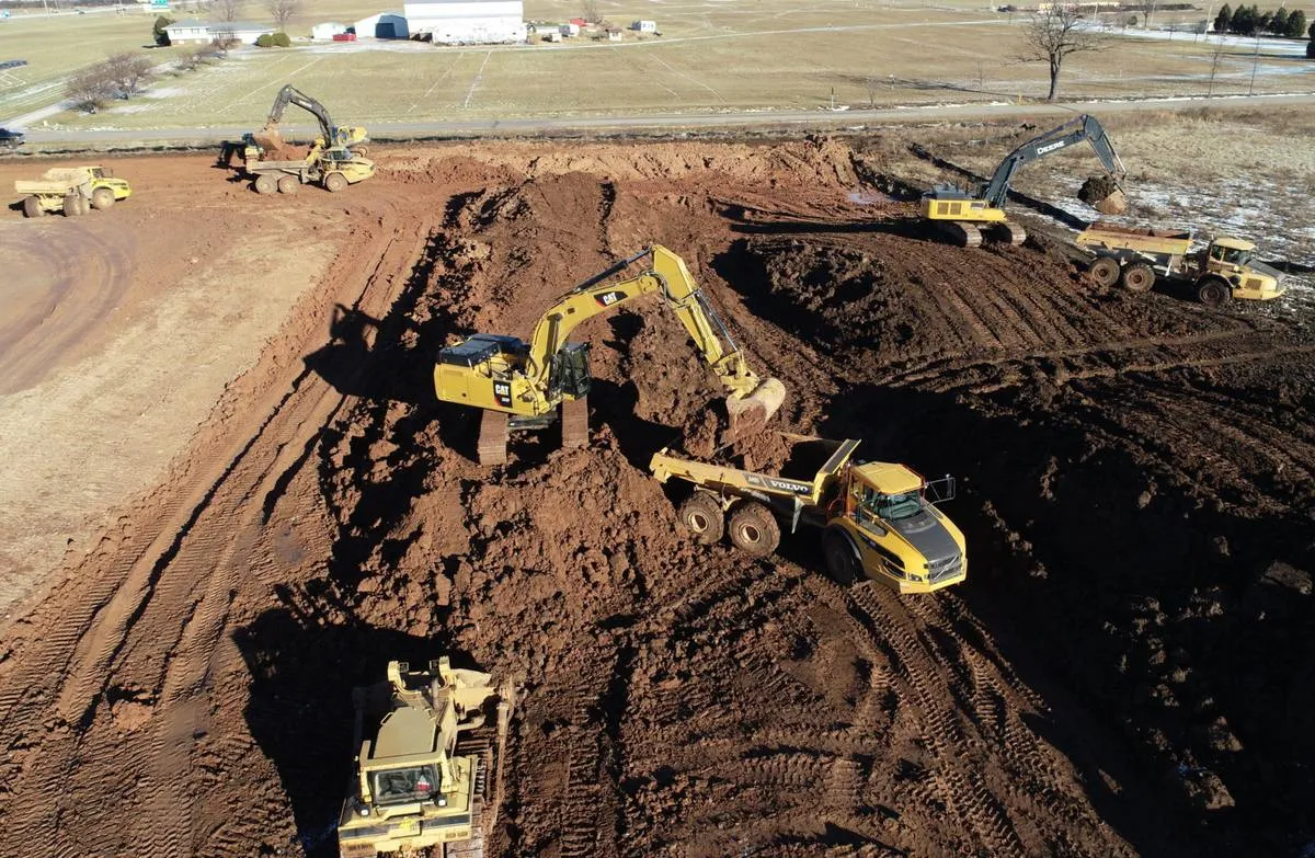
Cut and fill balance is the single largest cost lever on most grading projects, and it is decided during design, not during construction. How the balance is found, what breaks it, and why the savings are larger than the earthwork line item suggests.
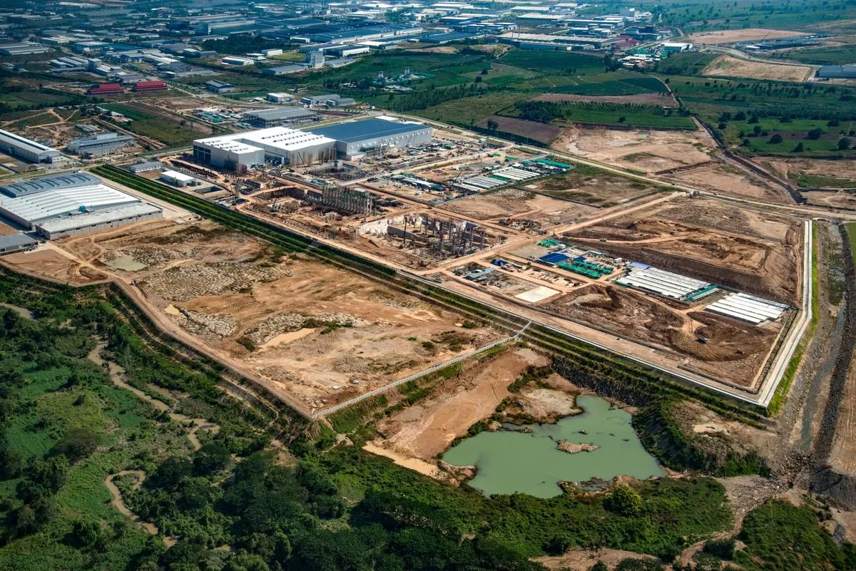
The grading problems that cost the most are rarely the ones visible on the topographic survey. Variable terrain, utility conflicts, tie-in constraints, accessibility limits and drainage that works on paper but not on site.
The questions developers, contractors and project managers ask most often.
Grading reshapes land to the finished elevations a project is built to. It establishes the finished ground level, directs surface drainage away from structures, provides suitable bearing conditions for buildings and paving, and has to satisfy the municipal standard. Poor grading produces drainage problems, excess construction cost, and returned submissions — and it is expensive to correct once the site is built.
Development replaces permeable ground with hard surfaces, so less water infiltrates and more runs off, faster. Municipalities require stormwater management so that post-development peak flow does not exceed pre-development peak flow for the specified design storms. Most approvals require a stormwater report demonstrating compliance with the local standard.
Topographic survey data for existing conditions; a site plan showing proposed building footprints and paved areas; existing and proposed utility information; the applicable municipal design standards; any geotechnical data available; and the project drainage requirements. Where a geotechnical report exists, its shrinkage factors and material suitability findings materially affect the earthwork result.
By comparing the existing ground surface to the proposed design surface. Both are built as digital terrain models, and the volumetric difference between them gives cut and fill. That raw number is a bank volume; topsoil stripping, shrinkage, unsuitable material and subgrade over-excavation are adjustments that sit between it and what actually gets hauled.
Balance means the volume excavated from high areas equals the volume needed to fill low areas, so no material is imported or exported. The saving is larger than the material cost alone: it removes haul, truck traffic through the surrounding road network, the schedule constraint of truck cycle times, and the risk of imported fill failing acceptance testing.
During feasibility and site selection, before the layout is fixed. Early involvement identifies the constraints that determine project viability and cost — topography, drainage, utilities, regulatory requirements — while there is still room to respond to them. Once building footprints, road alignments and servicing inverts are locked, most of the grading and earthwork levers are gone.
It prevents surface ponding, foundation moisture problems and pavement failure; it keeps the site usable and safe during and after rain events; it satisfies the municipal requirement for approval; and on industrial sites it is what keeps clean runoff separate from potentially contaminated runoff, which is an operating cost for the life of the facility.
Send the constraints, the timeline and what you already know. We will tell you what the engineering actually involves — and if we are not the right fit, we will say so.