Five site grading problems that surface late
The grading problems that cost the most are rarely the ones visible on the topographic survey. Variable terrain, utility conflicts, tie-in constraints, accessibility limits and drainage that works on paper but not on site.
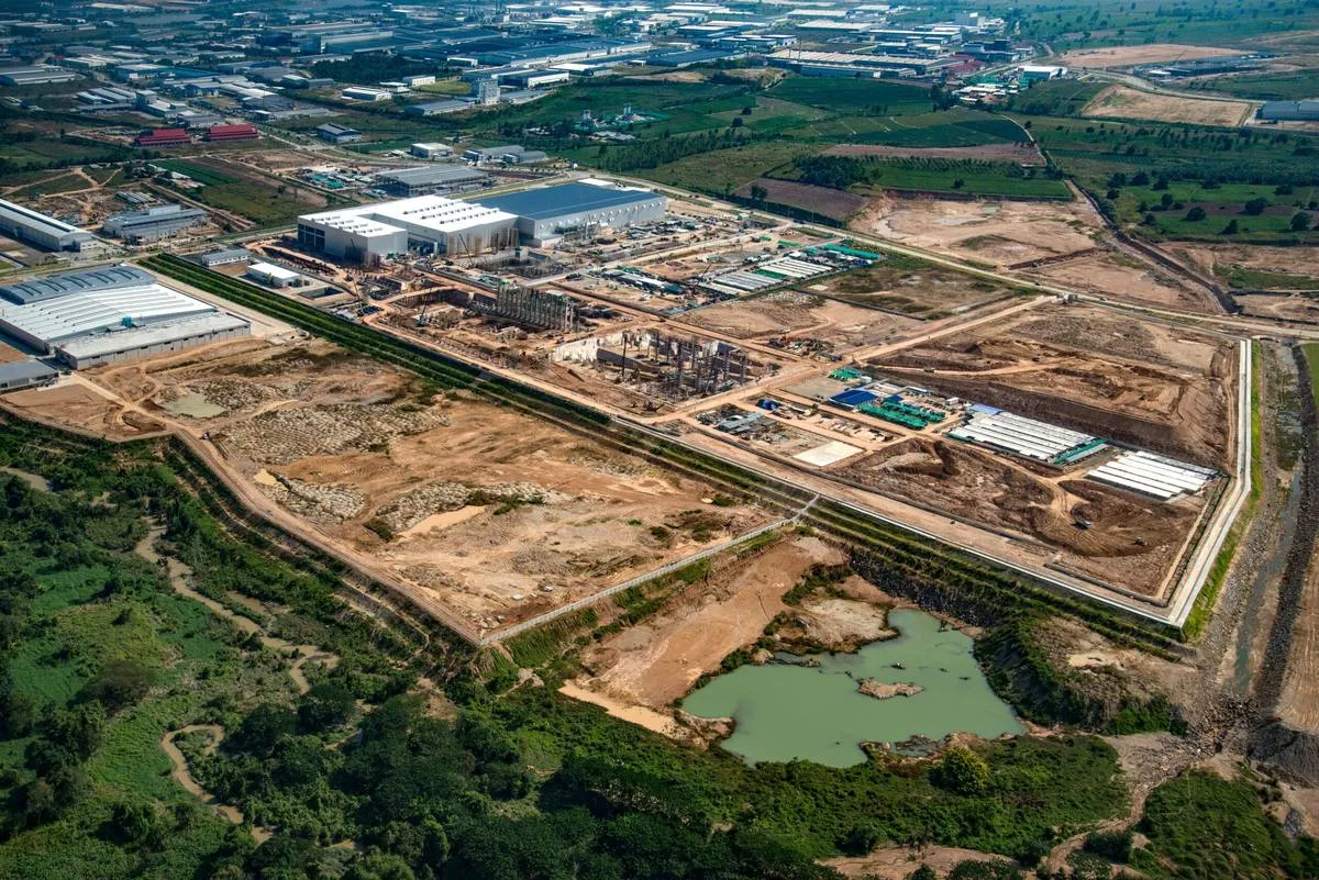
Site grading sets the finished elevations a project is built to. It decides where water goes, what the earthwork costs, whether the site is usable, and whether it will pass municipal review.
Most of it is straightforward. The problems that generate change orders tend to come from the same short list.
1. Terrain variability the survey did not resolve
A topographic survey is a set of points with a surface interpolated between them. Where the ground changes gradually, interpolation is accurate. Where it changes abruptly — a rock outcrop, a buried ditch, an old fill pile, a sharp bank — the surface between survey shots can be materially wrong.
Earthwork volumes are the difference between two surfaces, so error in the existing surface transfers directly into the quantity. On a site where the terrain is complex relative to the survey density, the honest response is to get more survey data before committing to a quantity, rather than to carry the uncertainty into a tender.
Ground-truthing matters here too. A drone survey produces a dense, accurate model of what the sensor can see — which is the top of the vegetation canopy, not the ground, unless the data is processed and verified accordingly.
2. Utilities in the way
Existing utilities constrain grading in both directions: you cannot cut so deep that you expose or undermine them, and you cannot fill so deep that you exceed their cover or loading limits.
The difficulty is that utility records are frequently incomplete, and the recorded depth is often the depth at installation rather than the depth today. Grade changes across a site’s history move cover.
The practical consequence is that grading near known utilities needs a confirmed elevation, not a record elevation, and the design needs to identify early which utilities constrain the grade rather than discovering it during excavation.
3. Tie-ins at the boundary
A site’s grading has to meet what is already there: the adjacent road, the neighbouring property, the existing drainage outfall, the servicing connection inverts.
Every one of those is a fixed elevation the design must reach. Collectively they constrain the site’s overall elevation far more than people expect, and they are the first thing to check when a design will not balance. A site that “should” be raised 0.5 m to balance the earthwork often cannot be, because the entrance has to meet the existing road crown and the storm connection has to fall to an existing invert.
Servicing inverts deserve particular attention. Gravity systems need fall. If the outfall invert is fixed and the site is raised, the pipe gets deeper. If the site is lowered, the fall may disappear entirely.
4. Drainage that works in the model but not on site
A design surface can drain correctly in the model and pond on site, for reasons that are all about construction tolerance rather than design error.
Flat areas are the common case. A surface designed at a minimum gradient has no tolerance left: normal construction variation in the finished surface is enough to produce local low points. Paved areas designed close to the minimum practical gradient are where this shows up most often, because the tolerance on asphalt placement is not small relative to the design slope.
The defence is to design above the minimum where there is room, to check the design surface for enclosed low points before issuing it, and to route surface flow along paths that have somewhere to go if a local depression forms.
The second case is flow that concentrates where nobody intended. Surface drainage follows the steepest path down the actual surface, which on a complex grading plan is not always the path shown by the arrows. Checking the flow paths generated from the design surface itself, rather than from the intent, catches this.
5. Accessibility and usability limits
Grading is constrained by what people and vehicles can actually use. Pedestrian routes have maximum running slopes and cross slopes set by accessibility requirements. Parking areas need enough slope to drain and little enough to be safe. Loading areas need to be close to flat where trailers dock. Emergency access routes have grade limits.
These are not soft constraints, and they apply across the surfaces that make up most of a developed site. A grading design that balances beautifully but puts a 6% cross slope across an accessible route does not pass review.
The pattern
Four of these five problems are constraints that exist before design starts and are discovered after. The way they get caught is a constraints review at the beginning — surveying what actually bounds the design, confirming the elevations that cannot move, and identifying where the tolerance is thin — rather than a design review at the end.